
68 Circular Road, #02-01 049422, Singapore
Revenue Tower, Scbd, Jakarta 12190, Indonesia
4th Floor, Pinnacle Business Park, Andheri East, Mumbai, 400093
Cinnabar Hills, Embassy Golf Links Business Park, Bengaluru, Karnataka 560071
Connect With Us
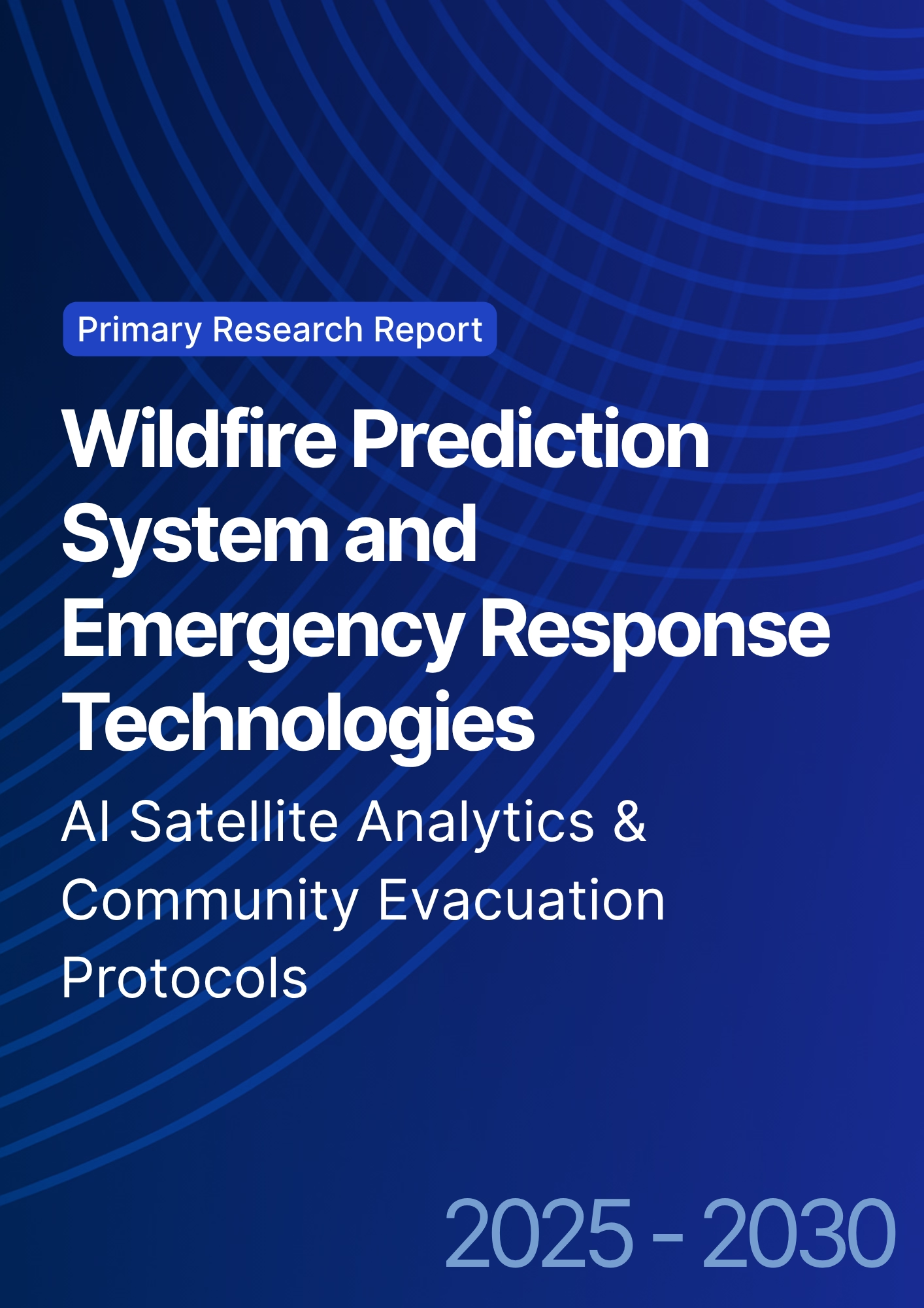
Wildfire Prediction System and Emergency Response Technologies: AI Satellite Analytics & Community Evacuation Protocols
From 2025 to 2030, Europe’s wildfire strategy shifts from seasonal firefighting to year‑round risk intelligence. AI satellite analytics fuse multi‑sensor streams thermal, optical, SAR, and lightning to detect ignitions in minutes, estimate spread under weather/fuel scenarios, and trigger tiered responses. UAV thermal patrols and edge camera networks confirm and localize events, while dynamic evacuation planning engines translate forecasts into route control and public alerts. Southern Europe remains the epicenter of risk, but climate‑driven exposure expands northward, demanding interoperable systems and cross‑border coordination. Quantitatively, this illustrative outlook shows the share of at‑risk population under AI‑enabled monitoring rising from ~38% to ~78% in Europe (and ~45%→~85% in Southern Europe) by 2030. Detection precision/recall improve toward ~90/88% for multi‑sensor satellite fusion, with first‑confirmation time reduced by ~20 minutes where UAV or fixed thermal networks backstop alerts. Operational gains manifest as fewer large‑loss fires, shorter response times, and higher successful initial attack rates, provided agencies pair analytics with fuel management and staffed operations centers.

What's Covered?
Report Summary
Key Takeaways
1) Multi‑sensor satellite fusion with UAV/edge confirmation cuts time‑to‑detect and false alarms.
2) Outcome‑based SLAs (MTTD/MTTR, alert precision/recall) outperform tech‑spec procurement.
3) Evacuation engines must integrate traffic control, shelter capacity, and multilingual alerts.
4) Fuel management + analytics + staffing = higher initial attack success, fewer large‑loss fires.
5) Cross‑border data sharing and SOP harmonization are decisive in Europe’s mosaic of agencies.
6) Privacy/cyber by design: signed updates, least‑privilege access, and audit trails for alerts.
7) Community readiness drills, signage, cell broadcast turns forecasts into safe evacuations.
8) Resilience finance grows with auditable KPIs for loss avoidance and response times.
Key Metrics

Market Size & Share
AI‑enabled wildfire monitoring expands rapidly as agencies adopt satellite fusion, UAV confirmation, and edge sensing. In this illustrative outlook, coverage of at‑risk populations grows from ~38% (2025) to ~78% (2030) across Europe, and from ~45% to ~85% in Southern Europe. Share concentrates among providers that integrate multi‑sensor ingestion (thermal, optical, SAR, lightning), forecast models, and dispatch tools into a single workflow with clear accountability. National agencies and regional civil protection authorities procure platforms that demonstrate measurable reductions in time‑to‑detect and time‑to‑confirm, with APIs that feed command‑and‑control systems and evacuation engines.
Vendors that pair analytics with operations support 24/7 monitoring cells, red‑flag day surge staffing, and training capture share. Countries with strong space/earth‑obs assets and telecom infrastructure (Spain, France, Italy, Portugal, Greece) scale first, while Central/Northern Europe invest in preparedness and inter‑agency interoperability as exposure shifts northward.

Market Analysis
Technology lanes deliver complementary strengths. Multi‑sensor satellite fusion achieves the highest precision/recall (~90/88% by 2030 in this outlook) through thermal/optical change detection, SAR smoke/heat cues, and lightning‑ignition correlation; UAV thermal patrols reduce confirmation time; fixed edge cameras with ML watch wildland‑urban interfaces; and weather AI models forecast spread and resource needs. Economics hinge on avoided losses and operational savings fewer false dispatches, faster containment, and optimized crew/aviation hours. Response time reductions evolve from ~12 to ~20 minutes by 2030 with integrated workflows and automated alert triage.
Risk factors: cloud/occlusion for optical sensors, data latency, cyber threats to command systems, and public trust. Mitigations: sensor diversity (thermal/SAR), low‑latency downlinks, signed software updates, and transparent public communications. Procurement shifts from equipment lists to outcome‑based SLAs tied to MTTD/MTTR, alert precision/recall, and evacuation clearance times.

Trends & Insights (2025–2030)
• Multi‑sensor fusion becomes baseline; SAR fills optical gaps during smoke/cloud cover.
• Spread simulators integrate live weather and fuel moisture to forecast perimeters hours ahead.
• Automated dispatch: rules engines route alerts to nearest assets and request UAV confirmation.
• Evacuation engines couple traffic models, shelter capacity, and cell broadcast to minimize congestion.
• Privacy/cyber: least‑privilege access, signed firmware, audit trails; public dashboards build trust.
• Mutual‑aid and cross‑border data sharing accelerate initial attack near boundaries.
• Workforce: analytics cells embedded with incident command; seasonal surge staffing and training.
• Resilience finance ties premiums/loans to auditable KPIs for avoided loss and response times.
Segment Analysis
• Southern Europe (ES/PT/IT/GR/FR South): highest risk; priority for satellite fusion + UAV patrols + community drills.
• Central Europe: preparedness focus edge cameras in WUI, mutual‑aid agreements, fuel management near settlements.
• Northern Europe & Nordics: early warning and vegetation management as exposure trends upward; invest in evacuation comms.
• Urban fringes/WUI: edge ML cameras and rapid alerting tie directly to local response and traffic control.
Buyer guidance: specify outcome KPIs (MTTD, precision/recall, confirmation time, clearance time); require cyber/privacy controls; and ensure SOPs connect alerts to dispatch and evacuations.
Geography Analysis (Europe)
Readiness peaks in Southern Europe Spain, Portugal, Italy, Greece, and southern France given risk exposure, policy focus, and maturing detection/response ecosystems. Croatia’s Adriatic coast joins as tourism and WUI growth raise stakes. Germany and the UK emphasize preparedness and inter‑agency interoperability; the Nordics scale early warning and vegetation management as climate patterns shift. The stacked criteria risk & fuel management, detection/comms, operational capacity, policy/funding, and community readiness indicate where balanced capabilities deliver the highest return on resilience investment.
Implications: sequence deployments in high‑readiness regions to validate playbooks; standardize APIs and SLAs across borders; expand community drills and multilingual alerts; and link financing to auditable KPIs for loss avoidance and response times.

Competitive Landscape (Ecosystem & Delivery Models)
Competition spans satellite analytics vendors, UAV service providers, fixed camera/edge ML suppliers, weather modelers, traffic/evacuation platforms, telecoms, and emergency management integrators. Differentiators: proven precision/recall, latency to alert and confirmation, cyber posture, multilingual public comms, and outcome‑based SLAs. Leaders deliver integrated stacks sensor fusion → forecasting → dispatch/evacuation → public messaging under contracts indexed to MTTD/MTTR, confirmation time, and evacuation clearance. Delivery models move from pilots to regional portfolios with shared SOCs and mutual‑aid data hubs. Vendors that combine high‑accuracy detection with robust operations, secure platforms, and trusted public engagement will shape Europe’s wildfire resilience through 2030.
Report Details
Proceed To Buy
Want a More Customized Experience?
- Request a Customized Transcript: Submit your own questions or specify changes. We’ll conduct a new call with the industry expert, covering both the original and your additional questions. You’ll receive an updated report for a small fee over the standard price.
- Request a Direct Call with the Expert: If you prefer a live conversation, we can facilitate a call between you and the expert. After the call, you’ll get the full recording, a verbatim transcript, and continued platform access to query the content and more.


68 Circular Road, #02-01 049422, Singapore
Revenue Tower, Scbd, Jakarta 12190, Indonesia
4th Floor, Pinnacle Business Park, Andheri East, Mumbai, 400093
Cinnabar Hills, Embassy Golf Links Business Park, Bengaluru, Karnataka 560071
Request Custom Transcript
Related Transcripts
$ 1445
$ 1345
$ 1432


68 Circular Road, #02-01 049422, Singapore
Revenue Tower, Scbd, Jakarta 12190, Indonesia
4th Floor, Pinnacle Business Park, Andheri East, Mumbai, 400093
Cinnabar Hills, Embassy Golf Links Business Park, Bengaluru, Karnataka 560071


.png)


